Boucle de la forêt de Saint-Crépin-Carlucet
Cultural History, Walks and hikes, Walking/pedestrian, Suitable for all
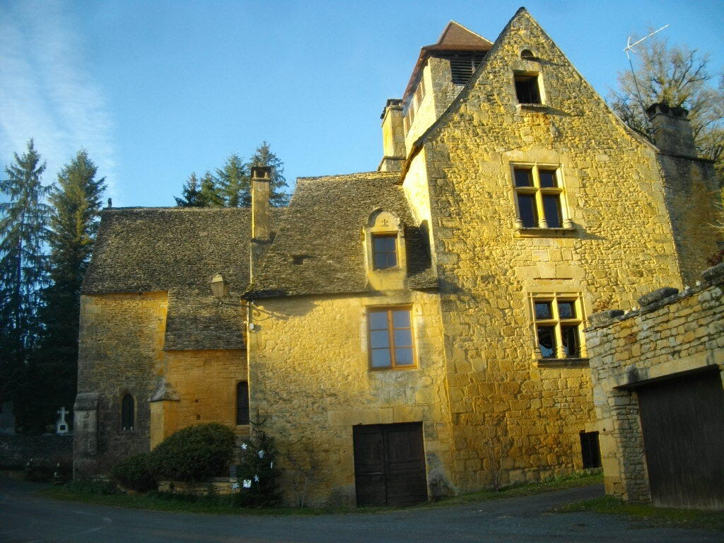
in Saint-Crépin-et-Carlucet
15.1
km
Walks and hikes
5h
Medium
- Departure
- Saint-Crépin-et-Carlucet
-
-
Difference in height
- 455.46 m
-
-
-
Documentation
- GPX / KML files allow you to export the trail of your hike to your GPS (or other navigation tool)
-
- Points of interest
1

2

3

4

5

6

7

8

9

10

11

12

- 455 meters of difference in height
-
- Start altitude : 225 m
- End altitude : 223 m
- Maximum altitude : 276 m
- Minimum altitude : 166 m
- Total positive elevation : 455 m
- Total negative elevation : -457 m
- Max positive elevation : 88 m
- Min positive elevation : -71 m