Boucle des Combes
Loop, Horse-riding, Walks and hikes, Walking/pedestrian
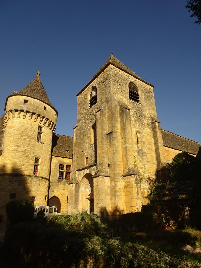
in Saint-Geniès
14.2
km
Loop
- Departure
- Saint-Geniès
-
-
Difference in height
- 366.14 m
-
-
-
Documentation
- GPX / KML files allow you to export the trail of your hike to your GPS (or other navigation tool)
-
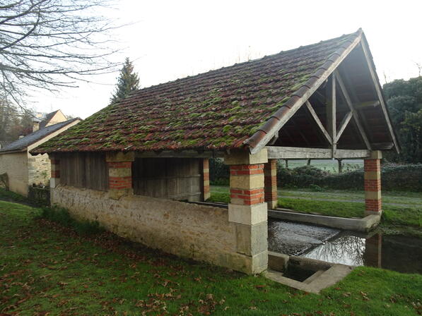
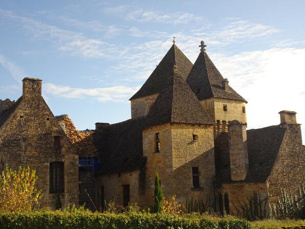
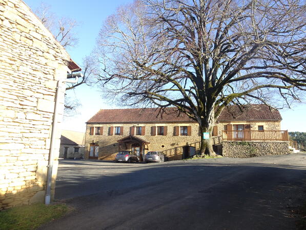
- Points of interest
1
2

3
4
5

6
7

8

- 366 meters of difference in height
-
- Start altitude : 196 m
- End altitude : 196 m
- Maximum altitude : 268 m
- Minimum altitude : 164 m
- Total positive elevation : 366 m
- Total negative elevation : -366 m
- Max positive elevation : 37 m
- Min positive elevation : -49 m