Boucle des deux villages
Loop, Horse-riding, Walks and hikes, Walking/pedestrian
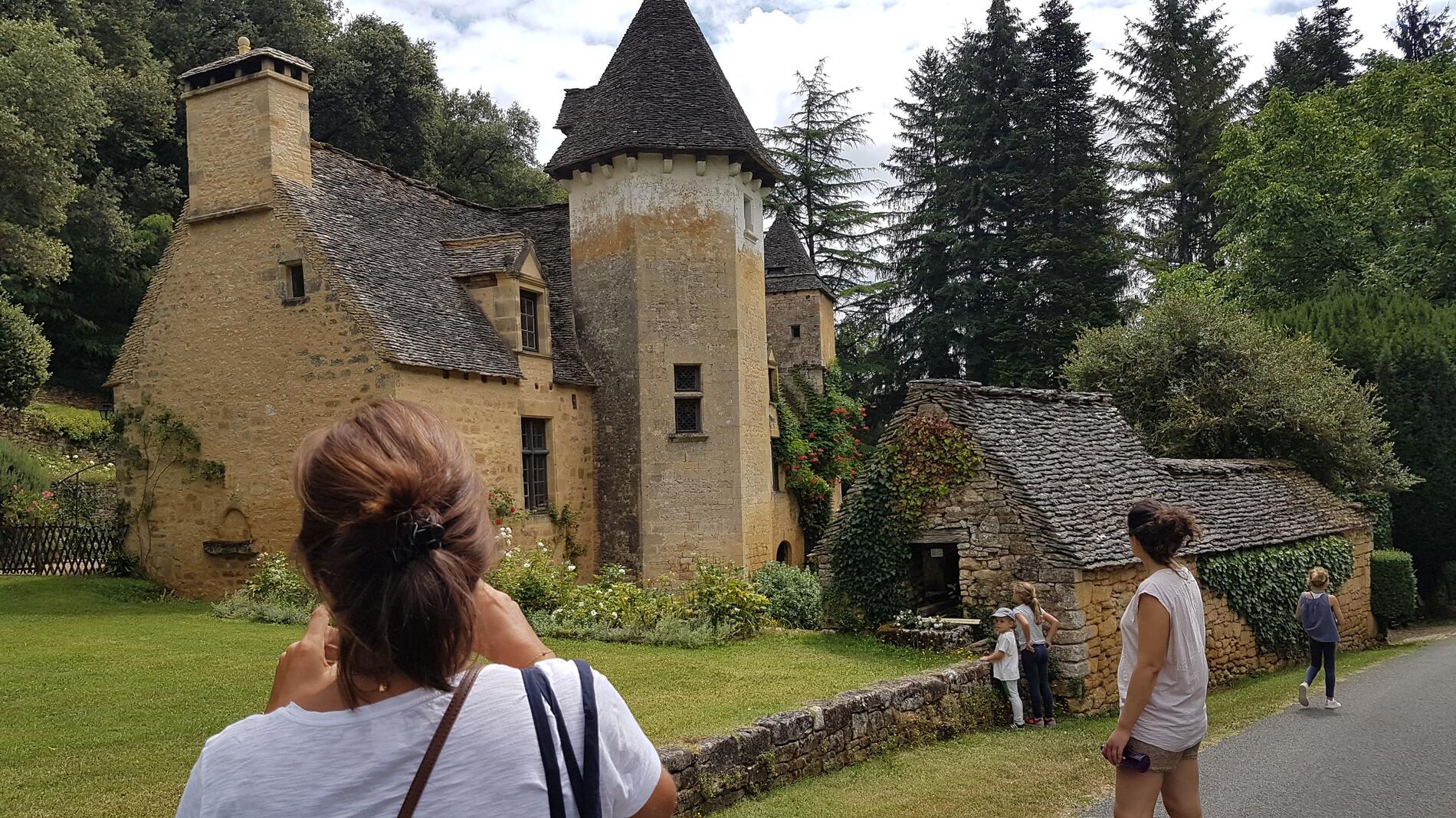
in Saint-Crépin-et-Carlucet
7.0
km
Loop
Walking/pedestrian
2h
Easy
- Departure
- Saint-Crépin-et-Carlucet
-
-
Difference in height
- 257.45 m
-
-
-
Documentation
- GPX / KML files allow you to export the trail of your hike to your GPS (or other navigation tool)
-
- Points of interest
- 257 meters of difference in height
-
- Start altitude : 222 m
- End altitude : 222 m
- Maximum altitude : 266 m
- Minimum altitude : 174 m
- Total positive elevation : 257 m
- Total negative elevation : -257 m
- Max positive elevation : 51 m
- Min positive elevation : -55 m