See photos (2)
Boucle des étangs Saint-Genies
Loop, Horse-riding, Walks and hikes, Walking/pedestrian
in Saint-Geniès
7.8
km
Loop
Walking/pedestrian
2h 30min
Easy
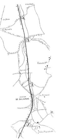
- Departure
- Saint-Geniès
-
-
Difference in height
- 215.61 m
-
-
-
Documentation
- GPX / KML files allow you to export the trail of your hike to your GPS (or other navigation tool)
-
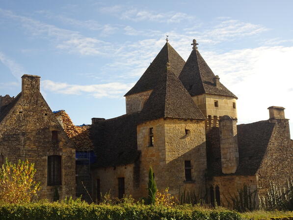
- Points of interest
1

2
3
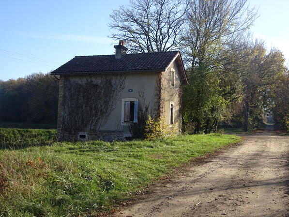
4
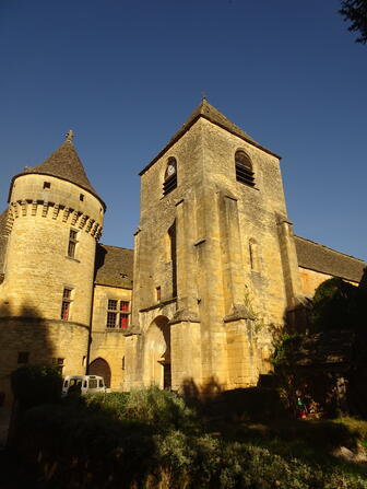
5
- 216 meters of difference in height
-
- Start altitude : 196 m
- End altitude : 196 m
- Maximum altitude : 268 m
- Minimum altitude : 196 m
- Total positive elevation : 216 m
- Total negative elevation : -216 m
- Max positive elevation : 26 m
- Min positive elevation : -40 m