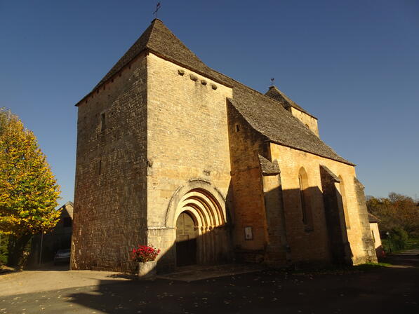
Boucle d'Esperier Archignac
Loop, Horse-riding, Walks and hikes, Walking/pedestrian
in Archignac
6.4
km
Loop
Walking/pedestrian
2h
Easy
- Departure
- Archignac
-
-
Difference in height
- 183.04 m
-
-
-
Documentation
- GPX / KML files allow you to export the trail of your hike to your GPS (or other navigation tool)
-
- Points of interest
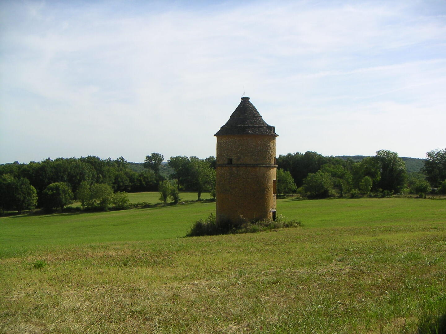
1

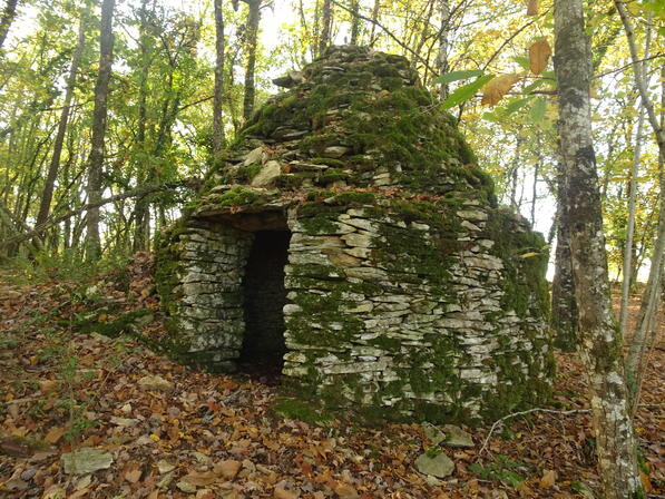
2
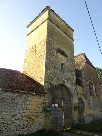
3

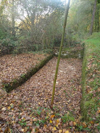
4
5
6
- 183 meters of difference in height
-
- Start altitude : 287 m
- End altitude : 287 m
- Maximum altitude : 299 m
- Minimum altitude : 237 m
- Total positive elevation : 183 m
- Total negative elevation : -183 m
- Max positive elevation : 37 m
- Min positive elevation : -37 m