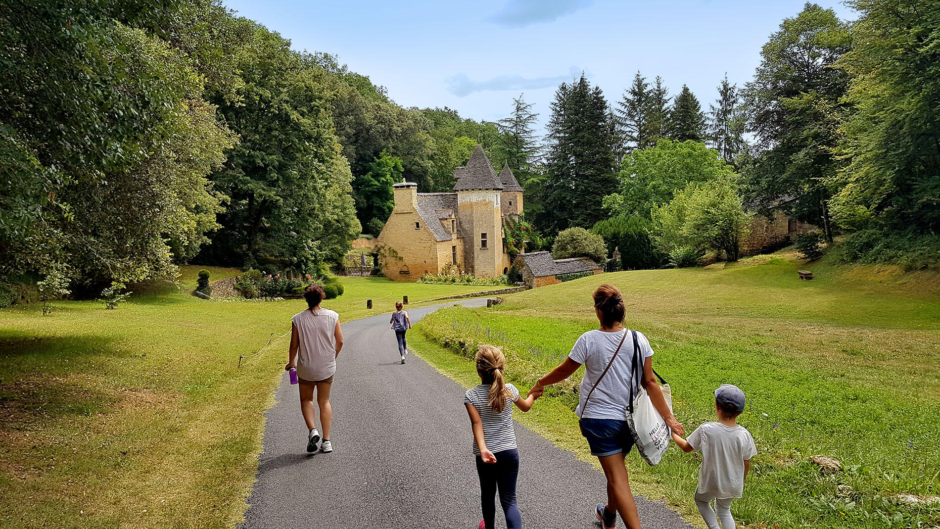
Boucle Terra Aventura de Saint-Crépin-Carlucet
Loop, For children, Walks and hikes, Walking/pedestrian
in Saint-Crépin-et-Carlucet
6.8
km
Loop
Walking/pedestrian
2h 30min
Medium
- 240 meters of difference in height
-
- Start altitude : 255 m
- End altitude : 250 m
- Maximum altitude : 266 m
- Minimum altitude : 177 m
- Total positive elevation : 240 m
- Total negative elevation : -245 m
- Max positive elevation : 51 m
- Min positive elevation : -42 m