Coustal circuit
Loop, Horse-riding, Walks and hikes, Walking/pedestrian
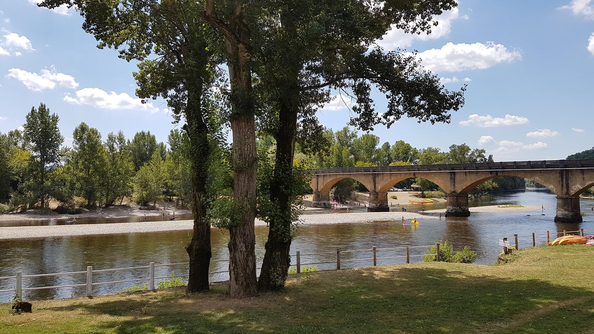
in Saint-Julien-de-Lampon
13.3
km
Loop
Walking/pedestrian
3h
Easy
- Departure
- Saint-Julien-de-Lampon
-
-
Difference in height
- 431.19 m
-
-
-
Documentation
- GPX / KML files allow you to export the trail of your hike to your GPS (or other navigation tool)
-
- Points of interest
1

2
3
4
5

6

- 431 meters of difference in height
-
- Start altitude : 90 m
- End altitude : 90 m
- Maximum altitude : 225 m
- Minimum altitude : 89 m
- Total positive elevation : 431 m
- Total negative elevation : -431 m
- Max positive elevation : 65 m
- Min positive elevation : -58 m